|
estapasando.telecinco |
 |
|
|
|
 |
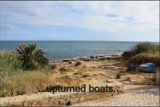
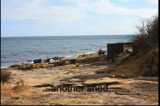
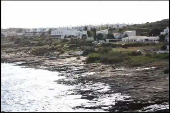
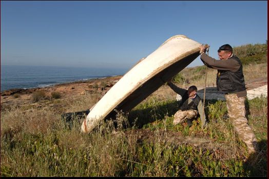
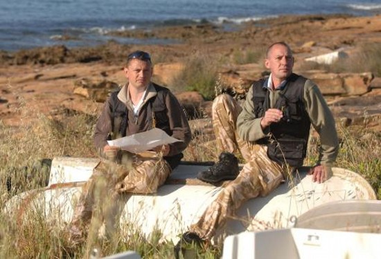
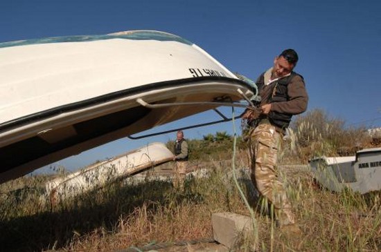
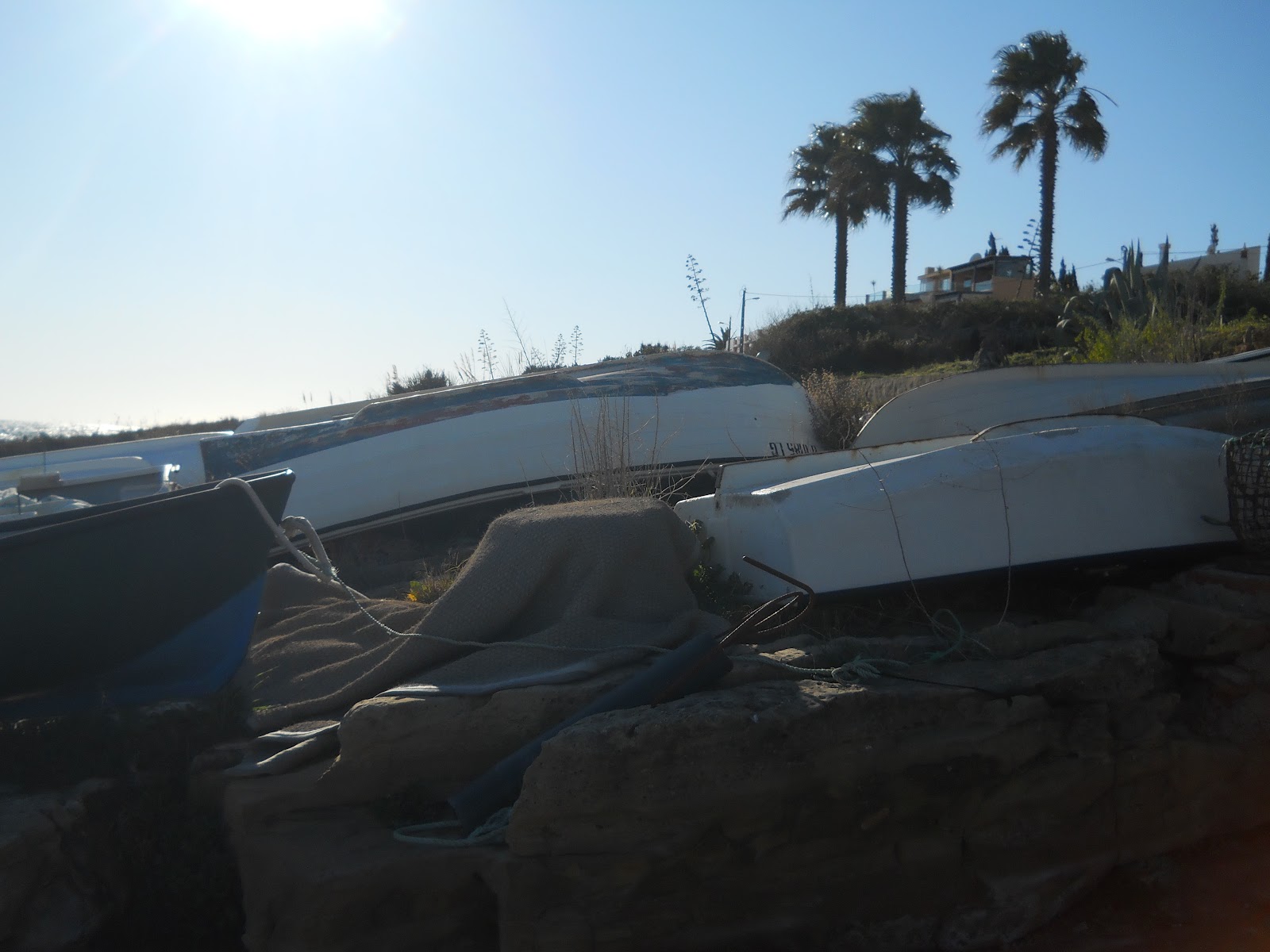
Overturned
Boats
PHOTOGRAPHS BY PAT
BROWN FEBRUARY 2012 |
|
 |
|
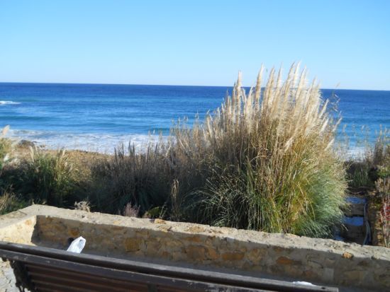
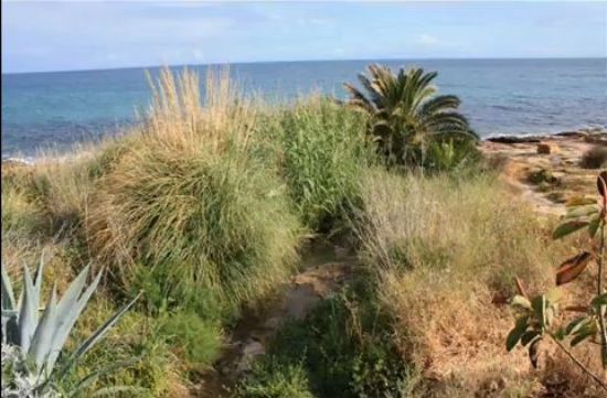
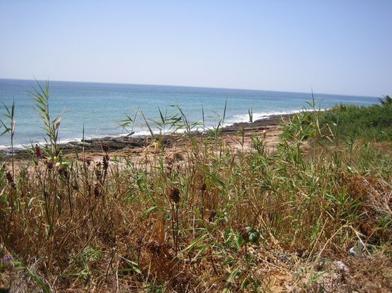
Reeds |
|
 |
|
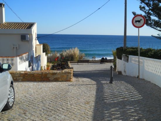
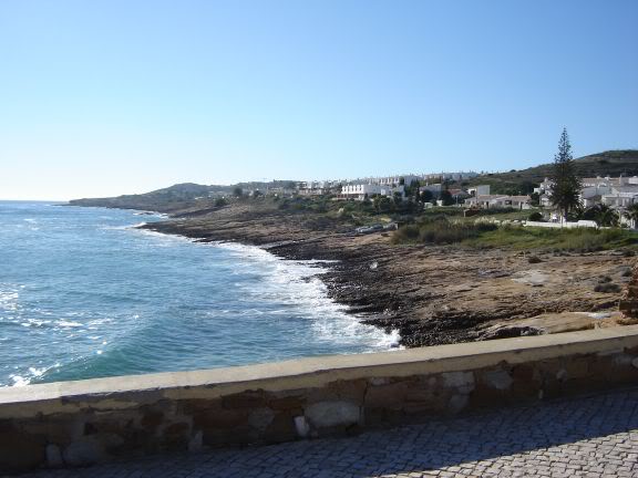
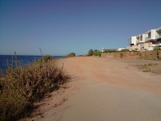
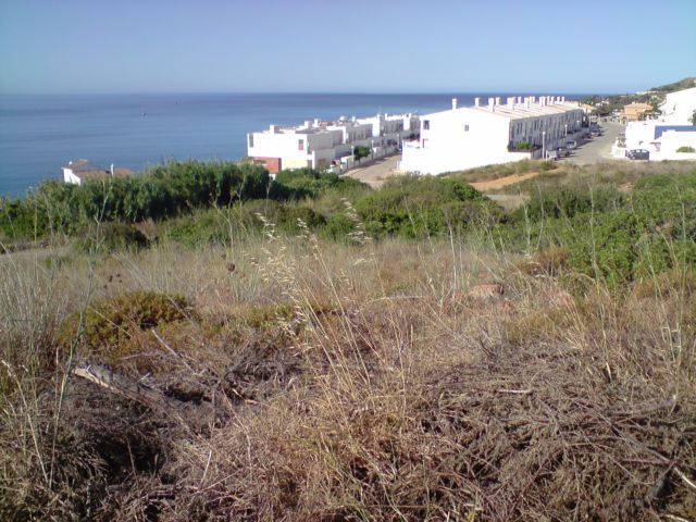
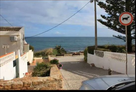
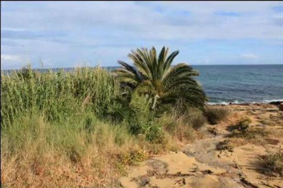
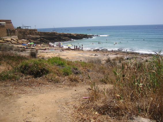
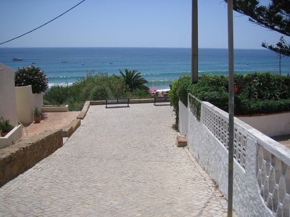
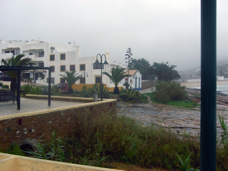
Road_meets_Beach |
|
 |
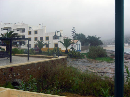
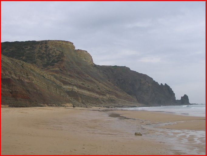
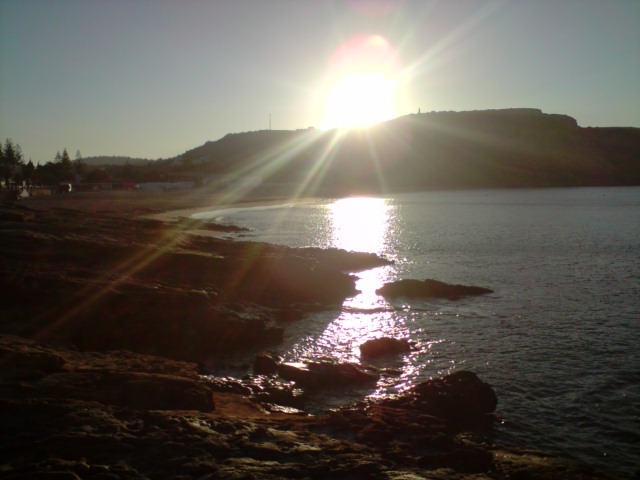
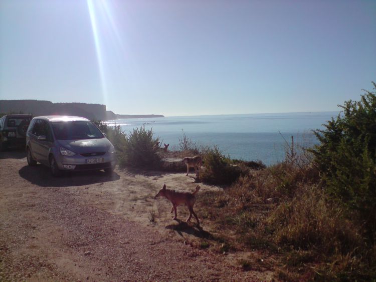
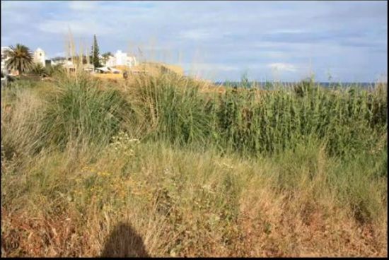
1880 ....as it
was this day in March 2010
.PHOTOS BY SWANRAY
|
|
 |
|
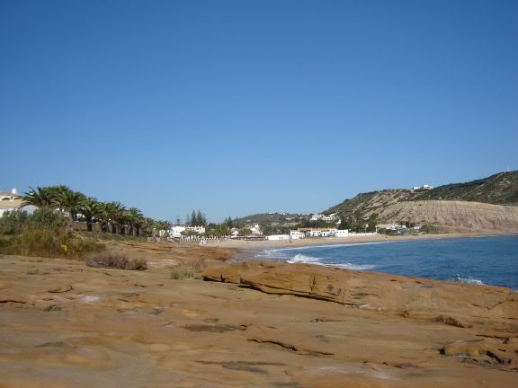
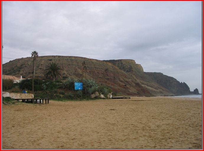
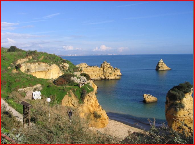
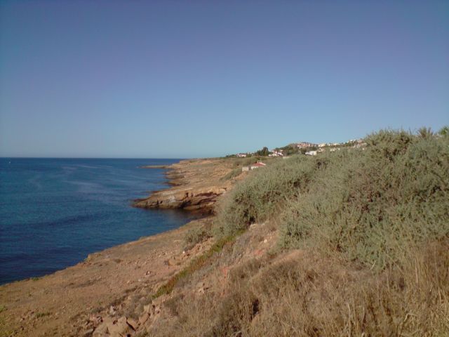
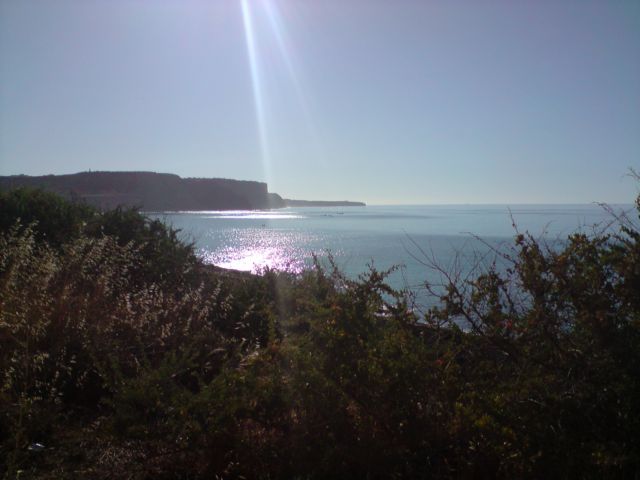
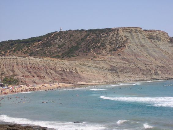
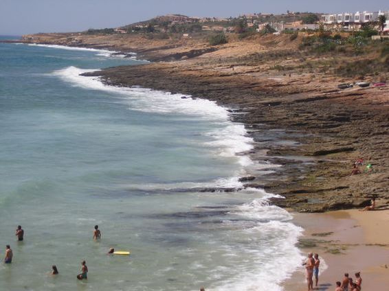
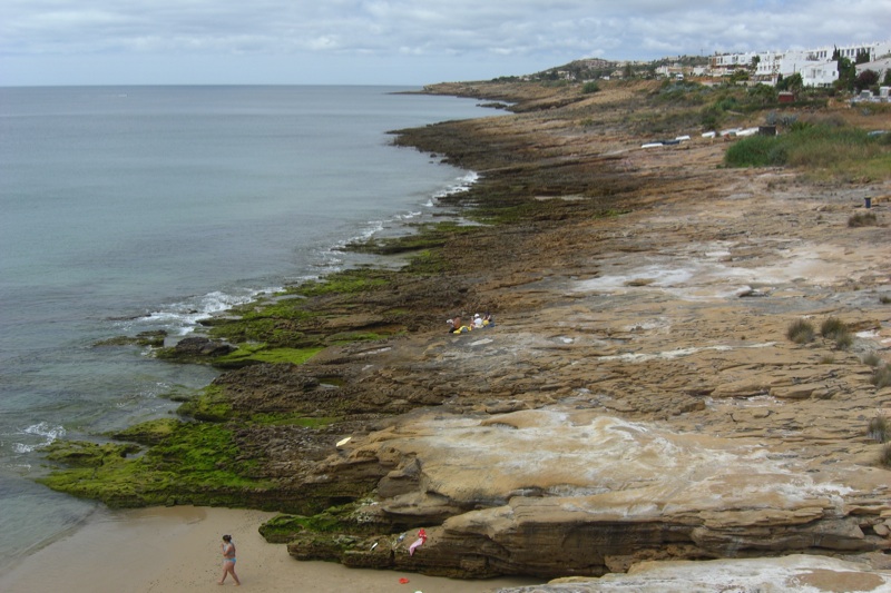
1869 A view
from Paraiso to the West on this windy day |
|
 |
|
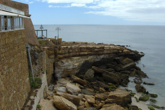
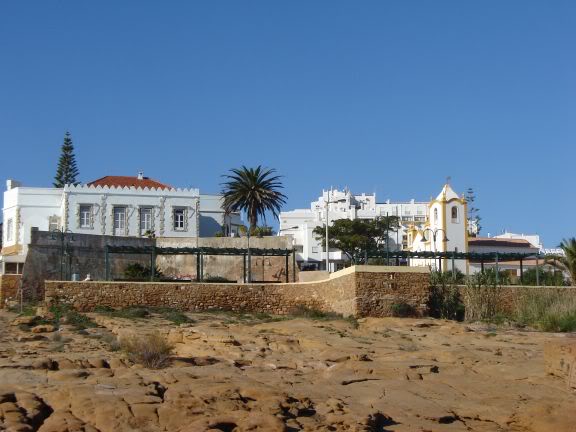
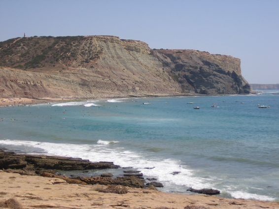
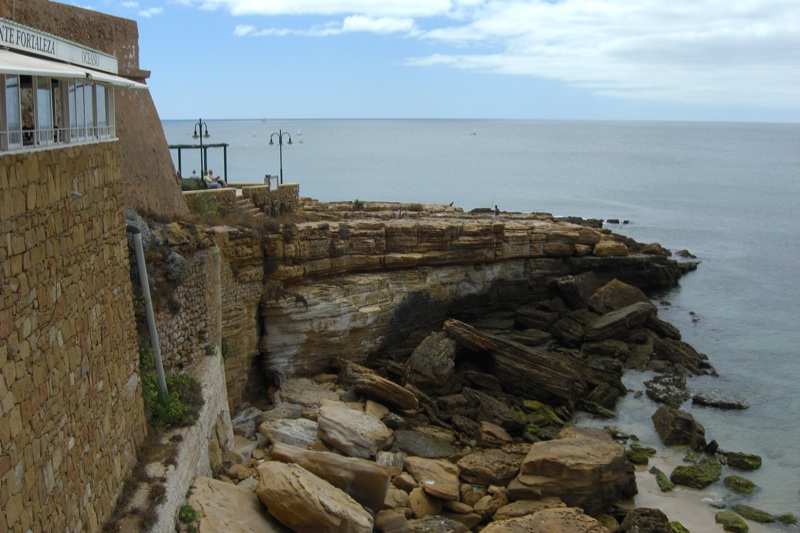
iew from the Fortalezi to the West
viewfromthefortalezitot |
 |
|
View to the
East side and the beach |
|
viewfromthefrontsideoft |
 |
|
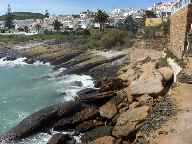
The west side
of the Fortalezi |
|
westsideofthefortalezi |
 |
|
DSC05246
PHOTOS BY KAZLUX
NOV 2008 |
 |
|
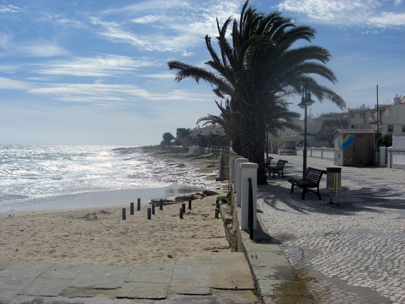
the 'beach'
with restaurant Paraiso on the left. |
|
DSC05247 |
 |
|
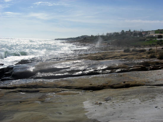
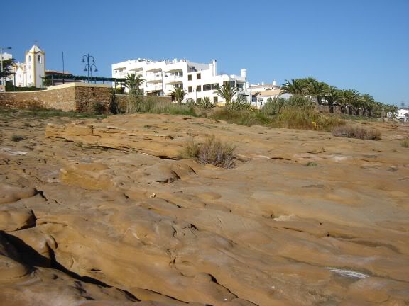
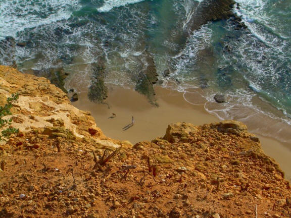
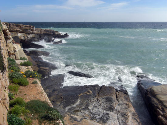
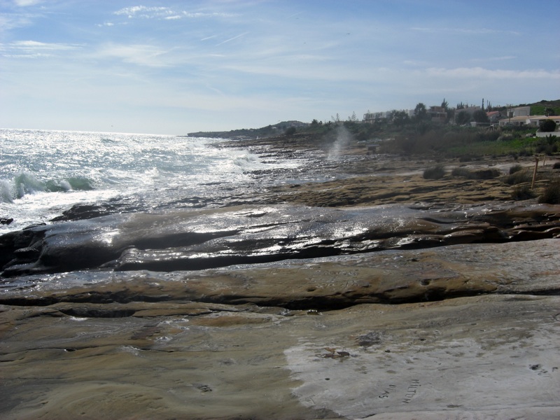
The rocks
(NOT 'the beach') behind the church and the
'fortalezza' |
|
DSC05248 |
 |
|
the 'beach'
with restaurant Paraiso on the left. |
|
DSC05250 |
 |
|
View to the
left (when facing the sea) |
|
DSC05251 |
 |
|
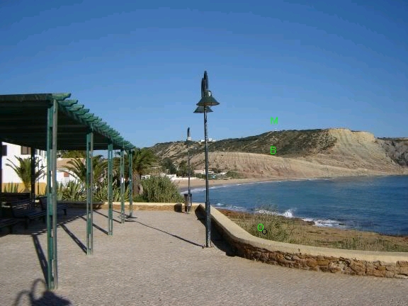
harmony
says Hope you don't mind me adding some
labels Kazux
O - see that bush, there is a big rainwater
drain outlet there, at the base of that wall
B - child blanket reportedly found here
M - monument |
|
k-notes |
 |
|
And view to
the right.
Now THIS part of the 'beach' (not sandy
beach, but rocks) is the most likely
destination of the person seen by the Smith
family, imo. |
|
DSC05257 |
 |
|
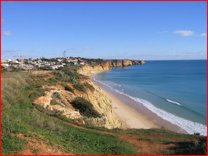
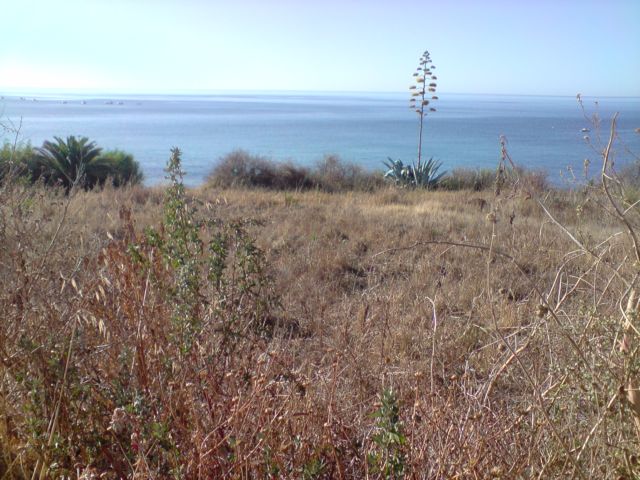
Abismo_e_Contraste_by_VelvetConnection_Laura
62 |
|
this photo
(courtesy of my daughter) shows the most
eastern point of the Luz Beach from high
(see Google image posted by harmony, (page
2). page 2 --> The main sandy beach
is about 1km long when tide is out
http://maps.google.co.uk/maps?q=37.0887 ...
13797&z=16
PHOTO BY
LAURA 62 |
 |
|
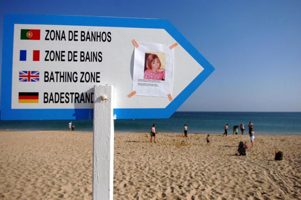
A picture of
Madeleine taken during the family's current
holiday at Praia da Luz before
the three-year-old disappeared
PA
GUARDIAN-15-05-07 |
 |
|
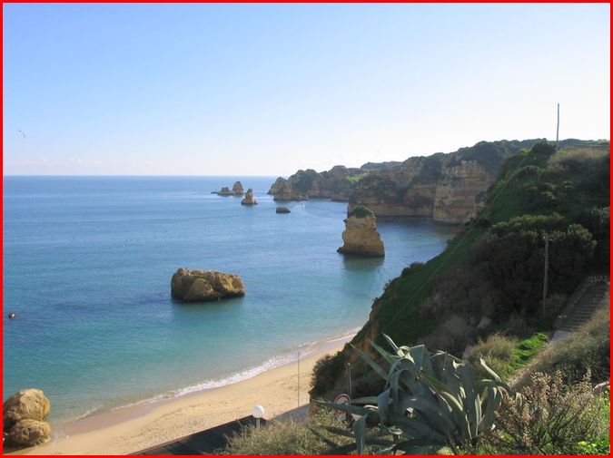
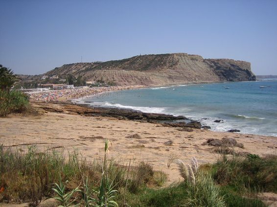
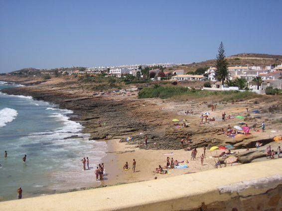
7. Beach view from the church
PHOTO BY ISABEL
18 SEP 20 |
 |
|
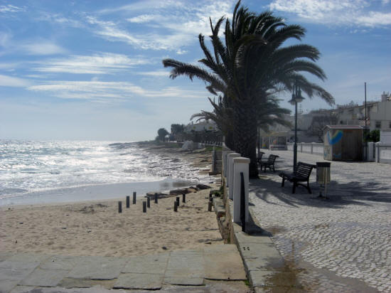
BeachPDL
PHOTOS BY JUST A GRANNY NOW |
 |
|
BeachPDL1 |
 |
|
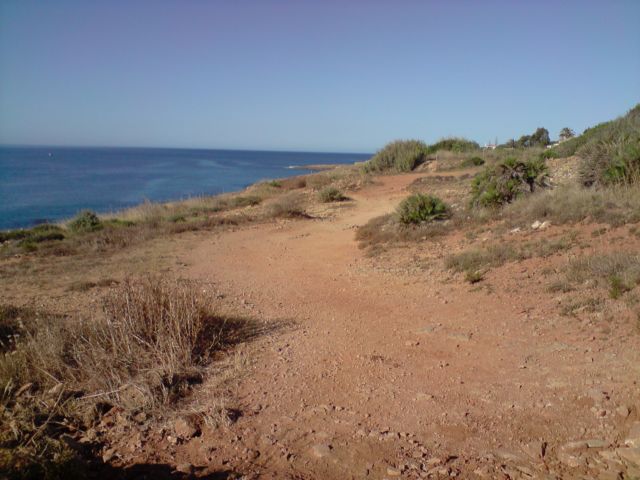
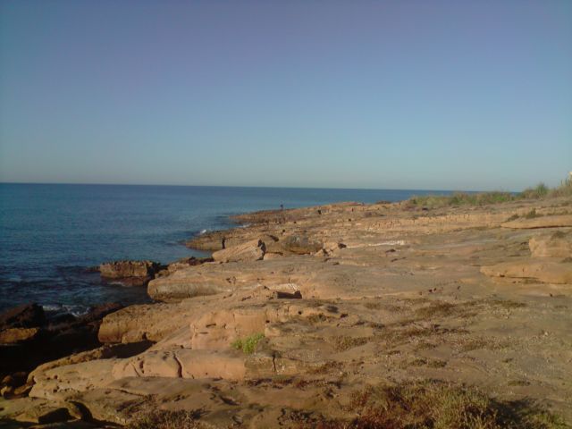
0117Clifftops |
 |
|
0161Coastline |
 |
|
0162Coastline1 |
 |
|
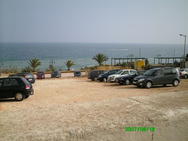
Picture 029
PHOTOS BY BIG TONE |
 |
|
Picture 081 |
 |
|
Picture 082 |
 |
|
Picture 083 |
 |
|
Picture 084 |
 |
|
Picture 085 |
 |
|
Picture 086 |
 |
|
Picture 087 |
 |
|
Picture 088 |
 |
|
Picture 092 |
 |
|
Picture 095 |
 |
|
Picture 096 |
 |
|
Picture 111 |
 |
|
Picture 112 |
 |
|
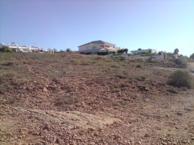
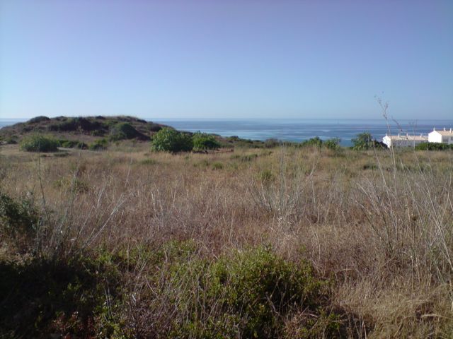
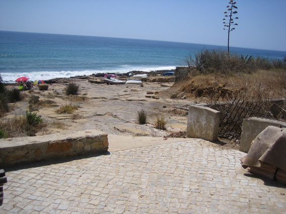
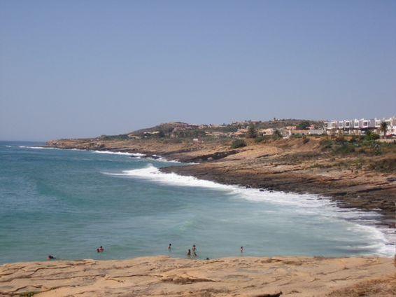
scrub by sea |
|
 |
Z5
PHOTOS BY JEANNIE D ARC |
|
 |
|
Z6 |
|
 |
|
Z9 |
|
 |
|
Z10 |
|
 |
|
Z11 |
|
 |
|
Z12 |
|
 |
|
Z13 |
|
 |
|
Z15 |
|
 |
|
Z16 |
|
 |
|
Z17 |
|
 |
|
Z18 |
|
 |
|
Z19 |
|
 |
|
Z22 |
|
 |
|
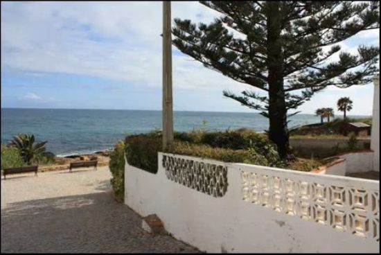
Side streets off R.da Calheta
all leading onto western beach area |
|
Route 1 - 11 to 16
PHOTOS BY RICH |
|
 |
|
Side streets off R.da Calheta
all leading onto western beach area |
|
Route 1 - 12 to 16
|
|
 |
|
Side streets off R.da Calheta
all leading onto western beach area |
|
Route 1 - 13 to 16
|
|
 |
|
Side streets off R.da Calheta
all leading onto western beach area |
|
Route 1 - 15 to 16
|
|
 |
|
Route 1 to 16 Side streets off R.da Calheta
all leading onto western beach area |
|
 |
|
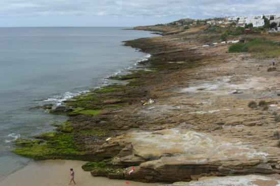
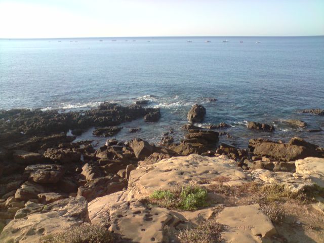
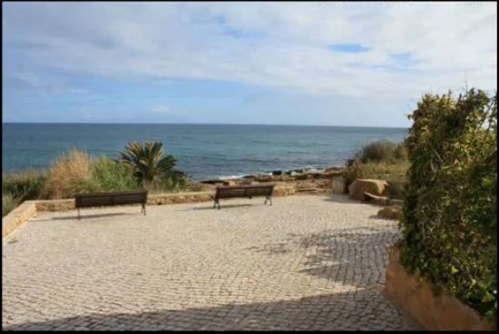
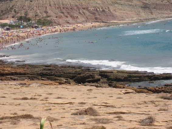
Beach 2 - East promontory |
|
 |
|
Beach 3 - Close up of the
main tourist beach |
|
 |
|
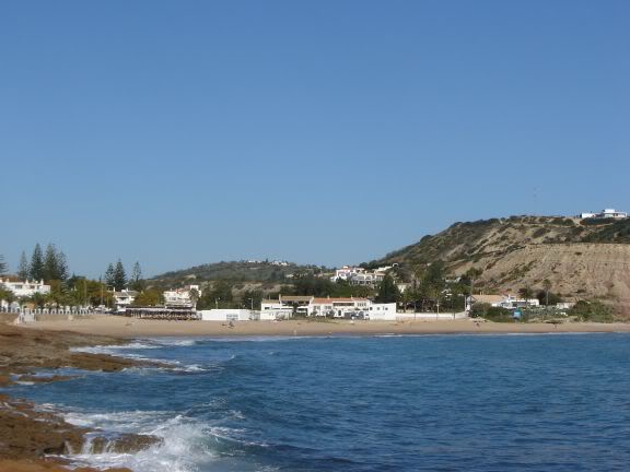
Beach 5 - Panoramic view of
the main beach towards the cliffs |
|
 |
|
Beach 6 - Panoramic view of
the cliffs from the main beach meeting the
sea |
|
 |
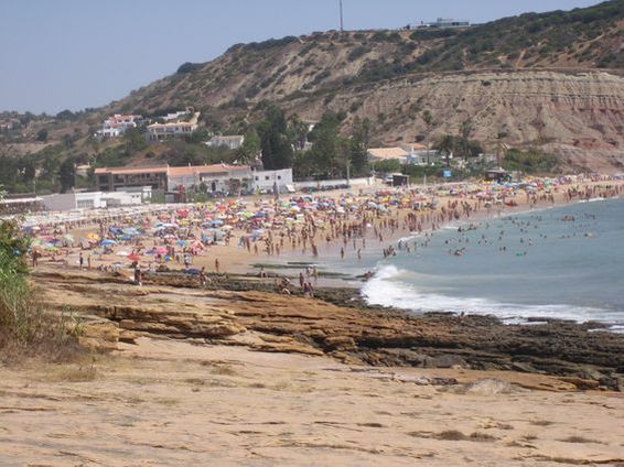
Main beach - Again the main
tourist beach
Main_beach_PdL_1 |
|
 |
|
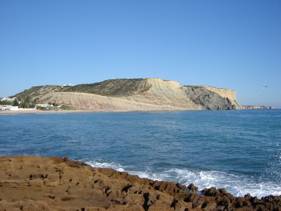
West promontory -
Panoramic view of the western promontory. |
|
 |
|
West promontory 2 -
Close up of the western promontory |
|
 |
|
West promontary 3 - Close up
again |
|
 |
|
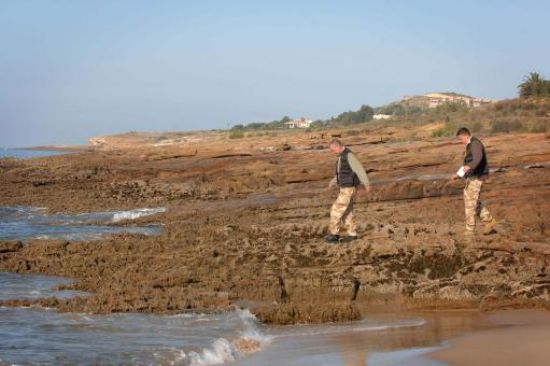
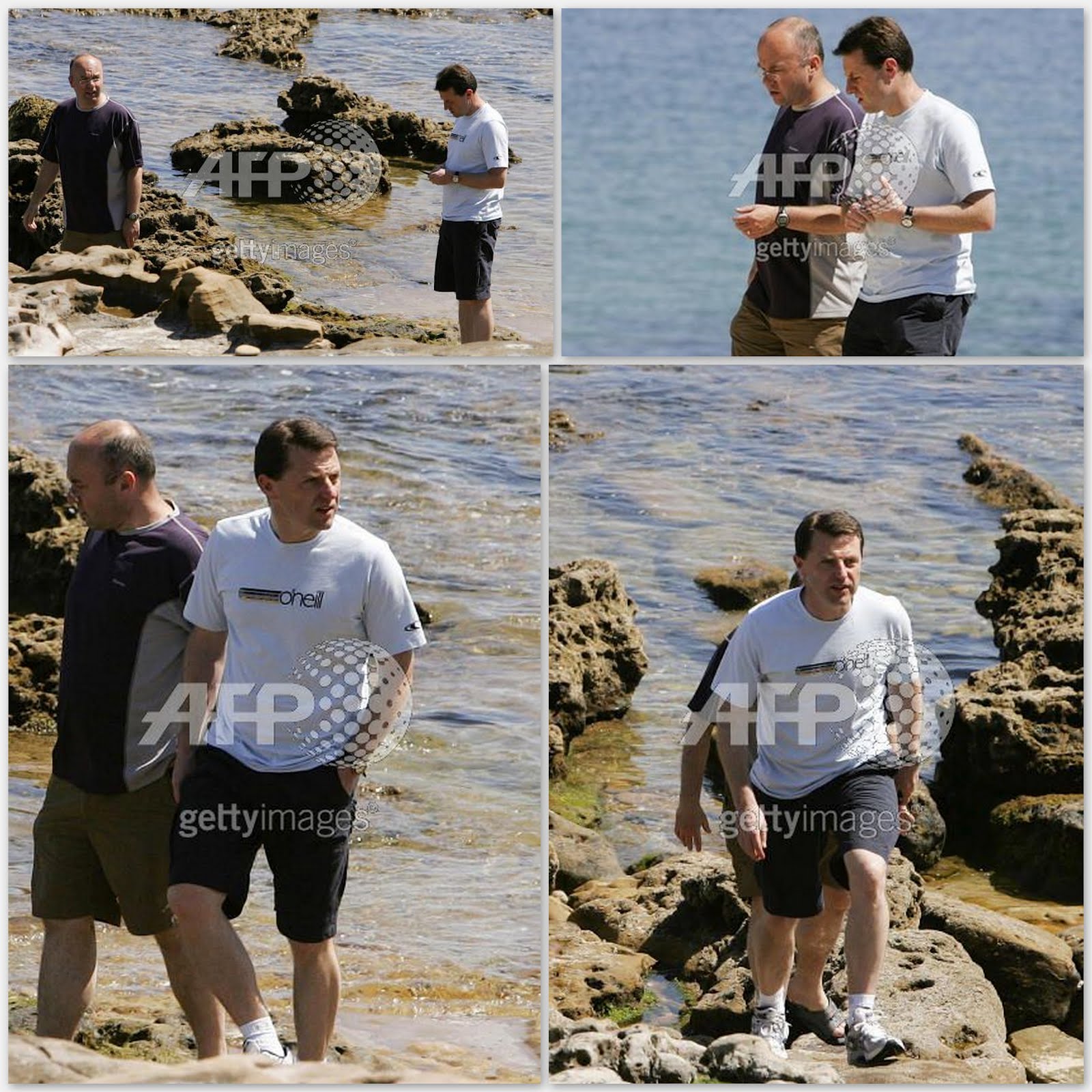
Stephen Taylor and Colin Sahlke Search 1 |
|
COLIN SAHLKE
AND STEVE TAYLOR |
|
TELEGRAPH ARGUS
25-05-07 |
|
 |
|
Stephen Taylor and Colin Sahlke 4 |
|
 |
|
Stephen Taylor and Colin Sahlke |
|
 |
|
Stephen Taylor and Colin Sahlke 1 |
|
 |
|
|
|
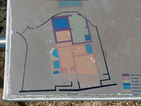
GO TO DRAINS
& SEWERS |
The
trench-like feature just below the outlet
cimg1882
PHOTOS BY
SWANRAY
|
|
 |
The
trench-like feature just below the outlet
cimg1878 |
|
 |
pdl
(5)
PHOTO FROM M M BLOGSPOT |
|
_small.jpg) |
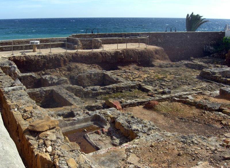
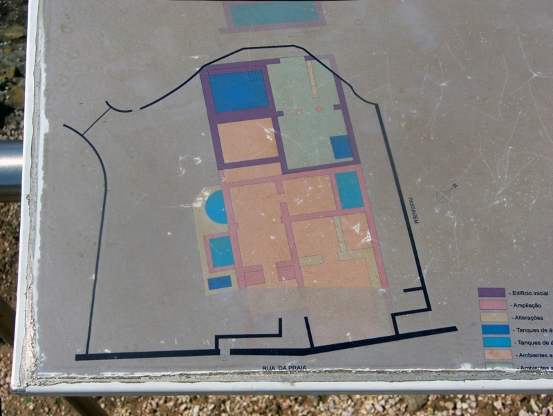
1870
Excavations of a Roman site halfway between
Paraiso and the Fortalezi.
PHOTOS BY
SWANRAY
|
|
 |
|
1871l
Excavations of a Roman site halfway between
Paraiso and the Fortalezi. |
|
 |


.jpg)